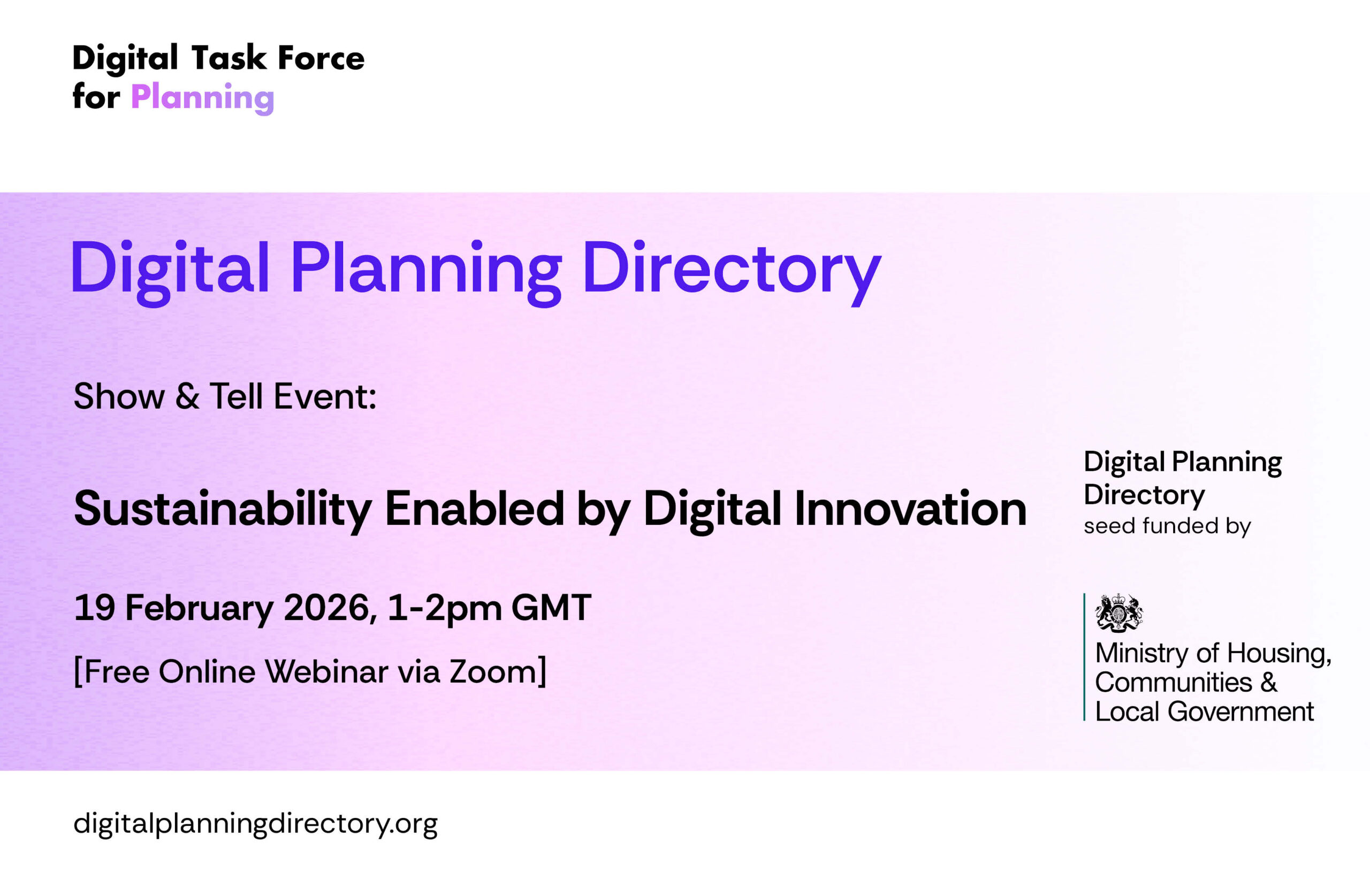
Digital Planning Directory Online Show and Tell: Sustainability Enabled by Digital Innovation
This one-hour session presented a range of state-of-the-art approaches to using digital tools to support sustainability in planning.
Online Show and Tell: Sustainability Enabled by Digital Innovation, 19 February 2026
Digital Planning Directory Online Show and Tell: Sustainability Enabled by Digital Innovation
Thursday 19 February 2026, 1-2pm
This one-hour session presented a range of state-of-the-art approaches to using digital tools to support sustainability in planning. Speakers from the British Geological Survey, Space Syntax , Preoptima, and Mapscape shared examples of how data and digital platforms are being used to inform geosystem services, spatial analysis, carbon assessment, and tree management. These practical tools can be effectively used to support evidence-based decision-making within local authorities.
Speakers:
Geo-system services: digital integration for sustainable planning
Dr Chris Williams,Head of National Mapping Systems and Standards, British Geological Survey
Ground conditions influence the benefits and values society gains from geosystem services, strongly linking to growth and sustainable development. Reliable datasets characterising subsurface assets are vital for informed land use planning and decision making. This overview highlights key data and information sources covering geohazard susceptibility, groundwater, sustainable drainage, geothermal resources, and brownfield land contamination.
What are sustainable locations and how can we find them?
Ed Parham, Director, Space Syntax
The presentation will present Space Syntax’ recent work to identify how characteristics of location and place influence the way that people move around on a daily basis and affect longer-term outcomes. It will show how Space Syntax’ models and datasets have been embedded in the Net Zero Spatial Planning Tool to enable Local Authorities to test the carbon impacts of development.
Planning Application Carbon Evaluation and Reduction (PACER)
Alex Bantock, Founder’s Associate, Preoptima
PACER is a purpose-built platform (developed with Westminster City Council and funded by Innovate UK, DESNZ and Defra) that brings deeper, more consistent whole life carbon (WLC) compliance checks into planning. It streamlines applicant communication and the iterative feedback loop, while helping case officers build confidence and capacity as climate policies evolve. PACER turns complex WLC assessments into auditable, low-carbon planning decisions.
Digital Evidence for Trees, Planning, and Duty-Holder Decisions
David Winlo, CEO, Mapscape
Mapscape helps local authorities and housing associations manage tree assets cost-effectively, using a defensible method that maintains auditable records and produces mapped outputs to support risk management and inspection cycles. Reduce admin, improve consistency, and demonstrate compliance across teams, contractors, and stakeholders, backed by clear, shareable evidence.