Details:
- Company: Blue Fox Technology Ltd
- Client: Powys County Council
- Year: 2022 - 2025
- Region: Wales
- Product: OpusMap
Service areas:
- Community engagement
- Geographical information systems (GIS) and mapping
- Plan-making, planning application and data management systems
Introduction
Powys County Council’s Planning Policy team ran a Candidate Sites consultation inviting proposals for sites to be considered in the new Powys Replacement Local Development Plan.
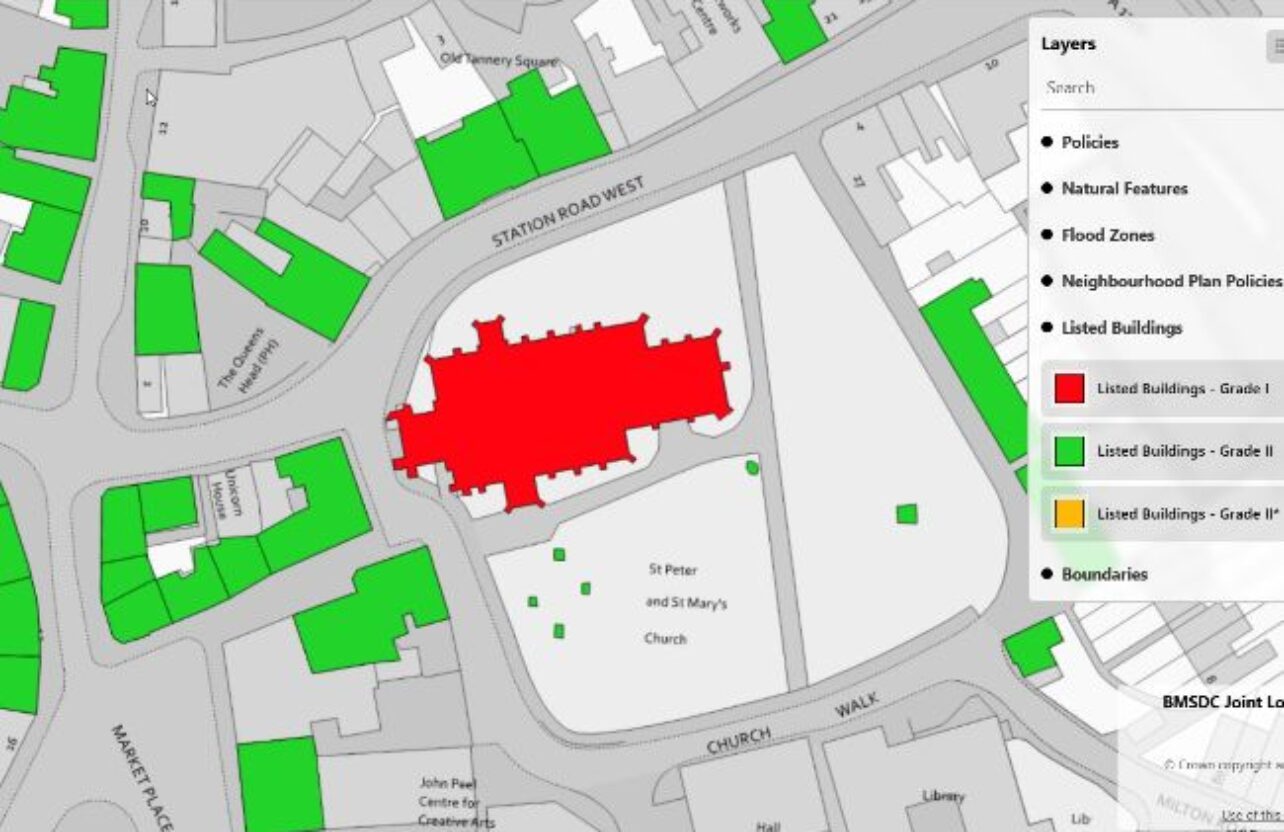
Powys procured OpusConsult and OpusMap (the Opus system) via competitive tender. They used the Opus system to run their Candidate Sites consultation online. Specifically, the Opus system enabled the public to submit all parts of their candidate site proposal digitally – including site plans via OpusMap – using their preferred web or mobile browser.
Powys procured OpusConsult and OpusMap (the Opus system) via competitive tender. They used the Opus system to run their Candidate Sites consultation online. Specifically, the Opus system enabled the public to submit all parts of their candidate site proposal digitally – including site plans via OpusMap – using their preferred web or mobile browser.
Challenges
Powys has a small planning team of 7 officers working in a hybrid set-up. Prior to procuring OpusMap they had no direct access to a digital constraints map to use in conjunction with their online LDP consultations. Previously, candidate sites were supplied on paper or as PDFs and all had to be digitized in house which could take several weeks. Also, constraints information relating to the viability of a proposed site’s location had to be collated AFTER the candidate sites had been submitted rather than at the point of submission. This restricted both the types of questions planners could ask and what related information they could request from site proposers based on the location of their site relative to any constraints (e.g. a site intersected a flood zone).
Solutions
OpusMap provided the accessibility and functionality needed to overcome the recurring problem of site plans being submitted by the public on paper or as PDF. In conjunction with OpusConsult it made the candidate site submission process more digitally accessible to the public and to developers, allowing ALL required text and spatial data to be submitted via a single online form.
The site plan data generated was more usable both to the public (e.g. they could retain their own copy of the submitted site plan) and to the Planning Policy team. It allowed planners to start site assessments almost immediately as all site plan data submitted via OpusMap was georeferenced, editable and included area measurements (calculated automatically as part of the site drawing process) as well as the accurate locations of any proposed site access points.
The site plan data generated was more usable both to the public (e.g. they could retain their own copy of the submitted site plan) and to the Planning Policy team. It allowed planners to start site assessments almost immediately as all site plan data submitted via OpusMap was georeferenced, editable and included area measurements (calculated automatically as part of the site drawing process) as well as the accurate locations of any proposed site access points.
Results
Of the 303 submissions 279, or 92%, were made online. Just 19 submissions came by email and only 5 were posted to Powys. Because Powys had such a high number of online submissions that data was instantly ready for the team to process and analyse. It only took the team 2 weeks to convert the remaining email and postal submissions into the Opus system.
The previous Call for Sites had taken 3 months to input all data into a usable format because there was no dedicated constraints map with drawing tools linked to the online submission form. Previously any sites submitted had to be digitised manually in the GIS as a separate process and then joined back again with the other submission data. Powys were having to transfer data in and out of different software. This was not a practical solution, as the team don’t all work in one office.
The previous Call for Sites had taken 3 months to input all data into a usable format because there was no dedicated constraints map with drawing tools linked to the online submission form. Previously any sites submitted had to be digitised manually in the GIS as a separate process and then joined back again with the other submission data. Powys were having to transfer data in and out of different software. This was not a practical solution, as the team don’t all work in one office.
We’ve had the Opus system for 3 years now. There’s been excellent support provided throughout that time with sound advice and knowledge being passed on so we can maximise the return on our investment in the software and make good use of it on a day to day basis.
Gayle Frewin
Policy Planner, Powys County Council