Urban Intelligence
A Data-Driven Approach to Local Plan Making and Off-Site BNG Assessments in Somerset
A Data-Driven Approach to Local Plan Making and Off-Site BNG Assessments in Somerset
Details:
- Company: Urban Intelligence
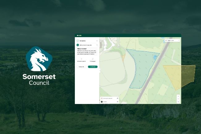
- Client: Somerset Council
- Year: 2024
- Region: England
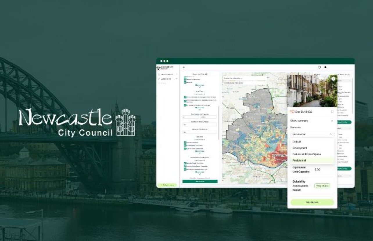
- Product: PlaceMaker
Service areas:
- Geographical information systems (GIS) and mapping
- Land search and assessment
- Organisational digital transformation
Introduction
As a recently merged authority creating it’s first Local Plan for the area, Somerset Council was looking for a digital solution to transform their manual, traditional approach to call for sites into a digital, data-driven process.
In response to government policy, the council also wanted to embark on some research and development to explore custom site assessments for off-site BNG provision across Somerset.
In response to government policy, the council also wanted to embark on some research and development to explore custom site assessments for off-site BNG provision across Somerset.
Challenges
With a housing target increase of 41% (3,769 per year) under the new NPPF, Somerset needed an efficient and user-friendly tool to speed up their call for sites and site assessment. With PlaceMaker’s digital Call for Sites service, Somerset knew that great efficiencies could be made by using an integrated system – from receiving submissions, to automating initial assessments, and adding sites to the central database.
In addition to this service, Somerset also wanted to explore some bespoke analysis and respond to recent policy changes. Their first piece of work with the Urban Intelligence team was to develop a methodology and custom assessment tool to assess the suitability of off-site land parcels to deliver BNG provision and Phosphate Mitigation.
In addition to this service, Somerset also wanted to explore some bespoke analysis and respond to recent policy changes. Their first piece of work with the Urban Intelligence team was to develop a methodology and custom assessment tool to assess the suitability of off-site land parcels to deliver BNG provision and Phosphate Mitigation.
Solutions
The team carried out a detailed call for sites exercise to build a multi-year pipeline of off-site BNG provision and for accessing Local Nutrient Mitigation Funding. They used a multi-stage process using automation, partial automation and officer verification to assess and score each potential site that was submitted. This staged approach sped up the process of sifting sites, helping officers prioritise those with the highest likelihood of successfully progressing.
Results
Using this digital call for sites process is estimated to have reduced officer time spent mapping, filtering and assessing sites by 70%.
With the BNG call for sites completed, Somerset Council are now running a wider Local Plan call for sites exercise for a variety of land uses and expect to achieve even greater efficiencies as they process and assess hundreds of sites.
Graeme shared how there is “great potential to significantly help us streamline processes and have everything in one place”, something that will help the team work collaboratively and efficiently through every stage of their local plan development. “The process enabled us to understand what other datasets were available to use that we were previously unaware of and it also kickstarted a process of improving out GIS datasets which will benefit the whole of Somerset Council.”
“PlaceMaker is a one stop shop where the public can submit their sites, mapping it themselves. It takes a huge part of the process out of the way and lets us concentrate on what we do with that information – reviewing the constraints and opportunities, all in one place.”
Graeme Thompson
Principal Planning Policy Officer, Somerset Council