Details:
- Company: Mott MacDonald
- Client: Affinity Water, Severn Trent Water, Canal & River Trust
- Year: 2023
- Region: England
Service areas:
- Visualisation, 3D modelling and animations
- Geographical information systems (GIS) and mapping
- Artificial intelligence (AI) and software solutions
Introduction
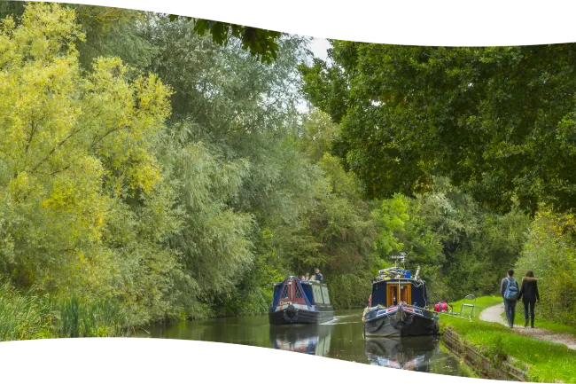
The Grand Union Canal Transfer (GUCT) Project is a landmark water resilience scheme for Affinity Water, Severn Trent Water and the Canal & River Trust. Spanning 160km, the programme will move highly treated recycled water from Minworth’s new Advanced Water Treatment Plant into the Coventry Canal near Atherstone. From there, the Coventry, Oxford and Grand Union canals will convey the water to an abstraction point south of Milton Keynes, where it will undergo final treatment before entering Affinity Water’s supply network. This use of the historic canal infrastructure plays a vital role in securing water resources for the South East.
Challenges
The GUCT is a linear DCO project with consultant organisations forming the multi-disciplinary delivery team, which by its nature requires strong coordination and introduces information management challenges. For instance, the 160km GUCT route spans ten local authorities and the environmental baseline differs substantially.
The above aspects generate sensitive interfaces across planning, engineering, environment, land and stakeholder engagement. Ensuring there is an integrated picture and single source of truth for design development is paramount to allowing consistency across workstreams and within the project partners.
The above aspects generate sensitive interfaces across planning, engineering, environment, land and stakeholder engagement. Ensuring there is an integrated picture and single source of truth for design development is paramount to allowing consistency across workstreams and within the project partners.
Solutions
To address the coordination and information management challenges of three project partners, 160km linear DCO, the Mott MacDonald GUCT team deployed Moata Geospatial as the central digital platform for integrating project spatial data. The tool provides a single, spatially driven environment where Affinity Water, Severn Trent, the Canal & River Trust can access consistent, validated datasets and view design, environmental and land information in real time. By consolidating the spatial information generated by multiple workstreams into one authoritative source of truth, Moata Geospatial enables coherent outputs, reduces duplication and supports faster, transparent decision‑making.
The spatial visualisation of constraints, ownership, engineering interfaces and community impacts improves coordination across planning, land, environmental and stakeholder teams, while automated data updates ensure alignment as designs evolve. This unified approach strengthens risk management, enhances traceability and ensures that environmental effects and integrated design requirements are understood holistically across the whole route.
The spatial visualisation of constraints, ownership, engineering interfaces and community impacts improves coordination across planning, land, environmental and stakeholder teams, while automated data updates ensure alignment as designs evolve. This unified approach strengthens risk management, enhances traceability and ensures that environmental effects and integrated design requirements are understood holistically across the whole route.
Results
To address the coordination and information management challenges of three project partners, 160km linear DCO, the Mott MacDonald GUCT team deployed Moata Geospatial as the central digital platform for integrating project spatial data. The tool provides a single, spatially driven environment where Affinity Water, Severn Trent, the Canal & River Trust can access consistent, validated datasets and view design, environmental and land information in real time. By consolidating the spatial information generated by multiple workstreams into one authoritative source of truth, Moata Geospatial enables coherent outputs, reduces duplication and supports faster, transparent decision‑making.
The spatial visualisation of constraints, ownership, engineering interfaces and community impacts improves coordination across planning, land, environmental and stakeholder teams, while automated data updates ensure alignment as designs evolve. This unified approach strengthens risk management, enhances traceability and ensures that environmental effects and integrated design requirements are understood holistically across the whole route.
The spatial visualisation of constraints, ownership, engineering interfaces and community impacts improves coordination across planning, land, environmental and stakeholder teams, while automated data updates ensure alignment as designs evolve. This unified approach strengthens risk management, enhances traceability and ensures that environmental effects and integrated design requirements are understood holistically across the whole route.

