Blue Fox Technology Ltd
Improving Data Quality and Confidence in Policies Map Delivery
Improving Data Quality and Confidence in Policies Map Delivery

Details:
- Company: Blue Fox Technology Ltd
- Client: Babergh & Mid Suffolk Council
- Year: 2019 - 2025
- Region: England
- Product: OpusMap
Service areas:
- Community engagement
- Geographical information systems (GIS) and mapping
- Plan-making, planning application and data management systems
Introduction
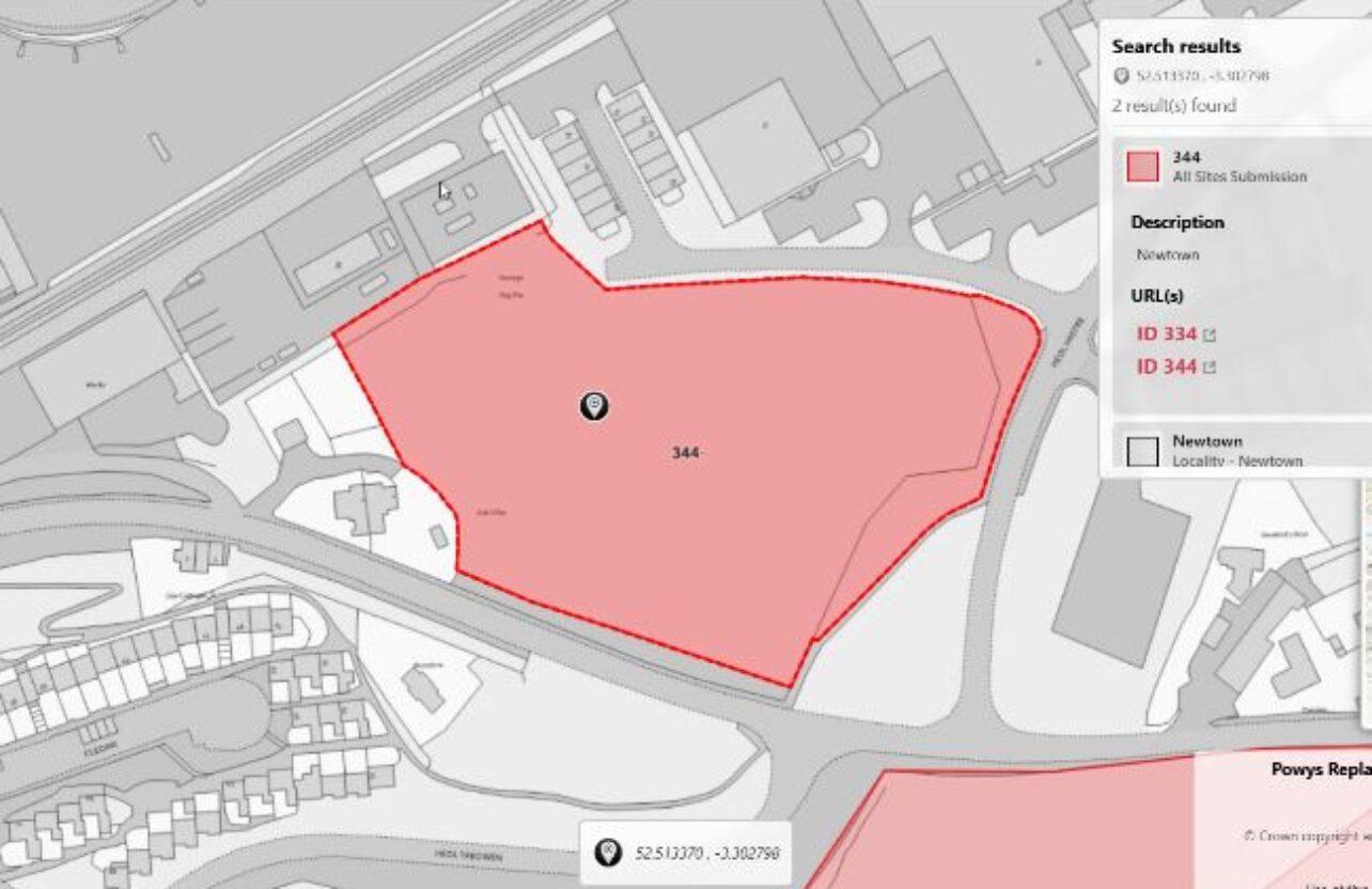
Babergh & Mid Suffolk Council (BMSDC) used OpusMap to publish their Joint Local Plan Part 1 Policies Map, overcoming common challenges faced by planning teams reliant on centrally managed and third-party GIS data. Through tailored training and onboarding, OpusMap empowered BMSDC’s Planning Policy team to directly manage, localise, and customise spatial datasets to meet local needs. This approach enabled seamless integration of national constraints and corporate GIS layers into their map, supporting both internal analysis and public engagement. The case also highlighted the importance of data quality, as a third-party dataset issue only emerged once the interactive map went live.
Challenges
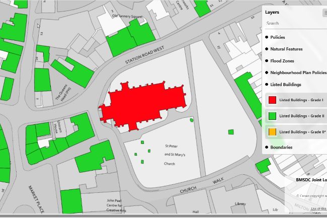
A member of the public contacted the Council to report that clicking on certain Listed Buildings in the interactive Policies Map failed to return the expected results or display correct map layers. The issue introduced inconsistency across the map and undermined the clarity of designated heritage asset information.
The OpusMap support team quickly diagnosed the issue: the map’s layer filters were referencing an empty database field in the Listed Buildings dataset. The incorrect column reference caused the three grade-specific layers (Grade I, II, and II*) to fail when loading in the map viewer. Further inspection revealed deeper inconsistencies in the original GIS file, including:
- Mixed or inconsistent grading conventions
- Missing attribute data
- Incomplete spatial coverage across the BMSDC geographic area
Solutions
To resolve the issue and improve overall data quality, we:
- Corrected the layer filter logic in OpusMap to ensure all Listed Building layers rendered as intended
- Cleaned and standardised the original GIS dataset using consistent grading symbology (i.e. I, II, II*)
- Updated attributes to display building names and grades consistently in map search results
- Embedded direct links to Historic England listings for each building to enhance the user experience
- Improved map performance with optimised layer visibility and accessibility rules for complex map areas with multiple map layers
- Uploaded the cleaned dataset and reconfigured the live Policies Map in OpusMap accordingly
Results
The issue was fully resolved on the same day reported and confirmed as fixed by the member of the public the following day. Search results now deliver accurate, complete information, and the improved layer configuration enhances overall map performance and usability.
The case study highlights what sets OpusMap apart: it’s not just a platform - it’s a partnership. From onboarding to issue resolution, OpusMap empowers planning teams to take control of their spatial data, even in complex or resource-constrained environments. For BMSDC, OpusMap enabled the Planning Policy team to respond quickly and deliver a more accessible and trustworthy Policies Map - without relying on overstretched corporate GIS teams.
By investing in OpusMap, local planning authorities gain more than an interactive mapping tool - they gain a reliable, responsive solution, strengthening data governance, streamlining plan-making processes, and improving public engagement. OpusMap gives you the tools and confidence to publish with precision.
“Thanks again for all your help - it’s really appreciated. The customer has confirmed the changes and we’re following up on your suggestion for future improvements.”
Zach Heather
Admin & Technical Support – Planning Policy, Babergh & Mid Suffolk Council