Space Syntax
Melbourne Urban Value Modelling
Melbourne Urban Value Modelling
Details:
- Company: Space Syntax
- Client: City of Melbourne
- Year: 2020
- Region: Global
Service areas:
- Planning and urban design services
- Plan-making, planning application and data management systems
- Digital twins
Introduction
Working with the City of Melbourne, Space Syntax has created a modelling tool that measures the impact on land values of key urban design factors including spatial connectivity, land use attraction and transport infrastructure.
Challenges
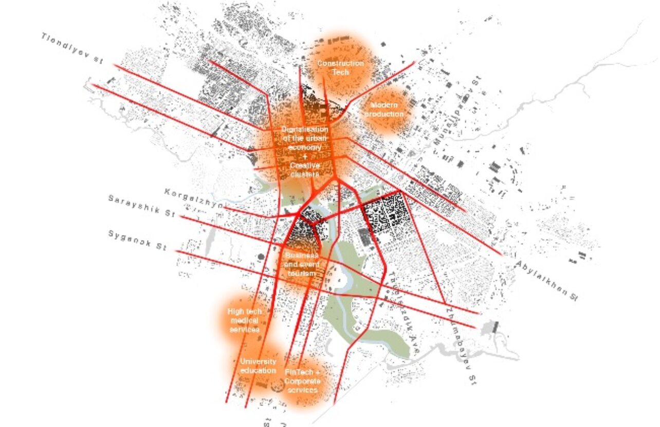
The ‘Urban Value Model’ demonstrates the benefits to land value of a fine-grained street network, diversity of land uses and proximity of public transport stops.
Solutions
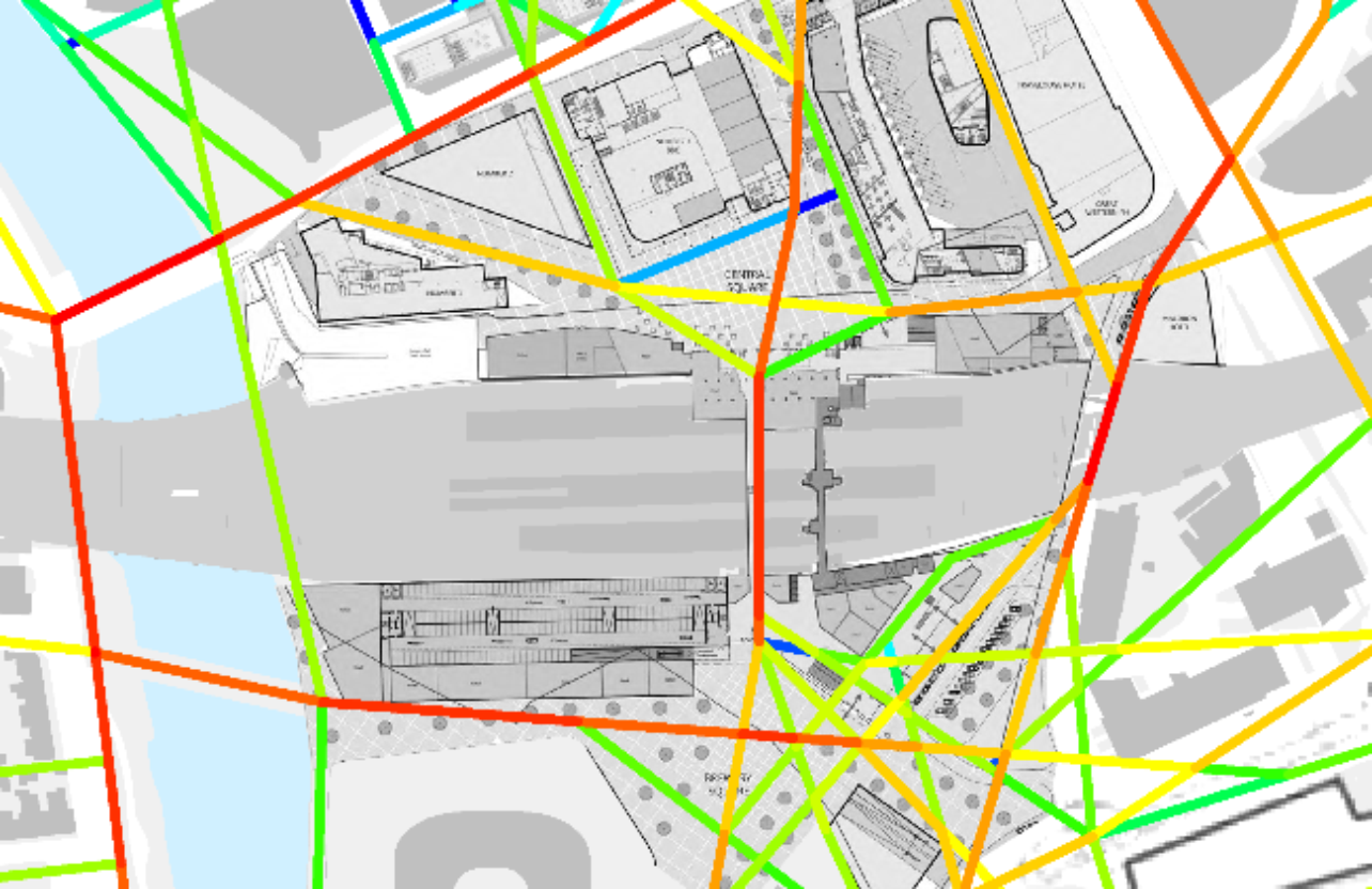
The Space Syntax team worked with city planning and design officers, taking pre-existing datasets and supplementing these with a purpose-built ‘Spatial Accessibility Model’ of Melbourne. As well as calculating key spatial parameters such as local/global accessibility, urban block size and street network density, the Spatial Accessibility Model provides a ‘data framework’ that allows other datasets to be combined and simultaneously analysed.
Results
“Urban Value Models bring a new level of rigour to the urban masterplanning process, connecting design to real estate economics and allowing the effects of design decisions to be measured quantitatively. This takes us beyond the hopes of professional guesswork that too often characterise our industry.”
Nora Karastergiou
Project director for the Melbourne Urban Value Model
Nora Karastergiou
Project director for the Melbourne Urban Value Model