VU.CITY
- Founded: 2015
- The Whitehouse, Belvedere Road, London, SE1 8GA
- sales@vu.city
- Community engagement
- Visualisation, 3D modelling and animations
- Geographical information systems (GIS) and mapping
- Planning and urban design services
- Digital twins
- Artificial Intelligence (AI)
- Machine Learning
- Real-Time Streaming
- Satellite Imagery
- Live chat / help lines
- Training and support
Introduction
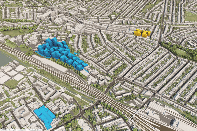
The platform brings together public authorities, developers, and the public to visualise planning policies, assess constraints, and explore opportunities in a single space. By offering clear and detailed 3D models of urban environments, VU.CITY helps local authorities better communicate planning policies, ensuring that all stakeholders—whether public or private—understand the implications of proposed changes.
VU.CITY addresses the lack of uniformity in planning tools by streamlining policy visualisation and enabling swift assessment of proposals. This reduces ambiguity, fosters transparency, and builds trust among all parties, ultimately saving time and improving decision-making. The platform empowers local authorities to future-proof cities and create more efficient, sustainable urban environments.
Our products
-
 VU.CITY
Purchasing a VU.CITY license grants access to its collaborative 3D platform, enabling users to visualise city developments, simulate planning scenarios with integrated data, and engage with stakeholders. The platform helps urban planners, architects, and developers collaboratively design and evaluate projects, improving decision-making and understanding through advanced analytics and interactive visualisation.
-
 SiteSolve
The generative design tool that is reducing site and design feasibility risks, and increasing confidence on sites and designs right from the beginning.
The VU.CITY Vision: Leading the Future of Urban Data Visualisation
Testimonials
VU.CITY’s ZTV reports save time, reduce site visits, and cut costs by £800–£2,000 per view. Early-stage impact analyses empower planning teams, reduce reliance on geospatial experts, streamline applications, prevent urban design conflicts, and derisk the process for developers, planning authorities, and stakeholders across the planning journey.

